 Getting to Detroit
See this map for driving directions and information about transportation to and from the airport: Visit Detroit Driving Directions
DTW is a major international airport with flights from around the US and the world, and Detroit is just 20 miles away. There are taxis and shuttles available from the airport including the following: SKOOT-ride ($23 one way per passenger; $43 round trip), Metro Car ($61 one way, up to four people per car), Uber, Lyft.
 Getting around in Detroit
People Mover: One block from the Crowne Plaza on Larned St, is your closest station. You can take the People Mover to Campus Martius and other destinations around the downtown area. Fare: $0.75 (bring quarters, the machines do not give change).
QLine: The new QLine or M1-Rail connects Downtown to Midtown where you can visit many museums and Wayne State University. The closest station is “Congress Station,” three blocks from the Crowne Plaza or take the People Mover (see above) to “Grand Circus Park.” Fare: $1.50 (single ride) or $3.00 (day pass).
MoGo Detroit offers bike rental around the city.
Take a pedicab with Rickshaw Detroit.
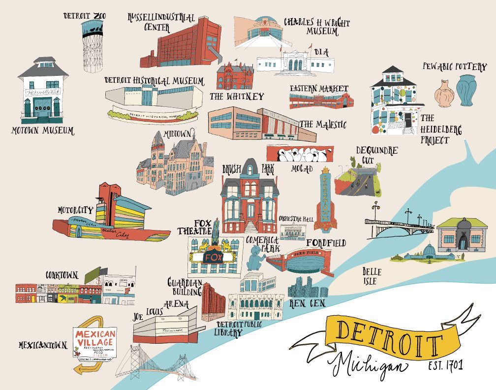
Maps
See this handy downtown map for self-guided walking tours.
The Visit Detroit “Eat, Shop, Stay and Play in the D” offers maps of neighborhoods and includes a guide to shopping, dining and attractions.